Spatial polygon area calculation by another polygon layer
Topic description
I have two polygon layers in the same region: 1) data layer, the area of the polygons needs to be calculated, 2) reference layer, the polygons in this layer will be used as statistic units.
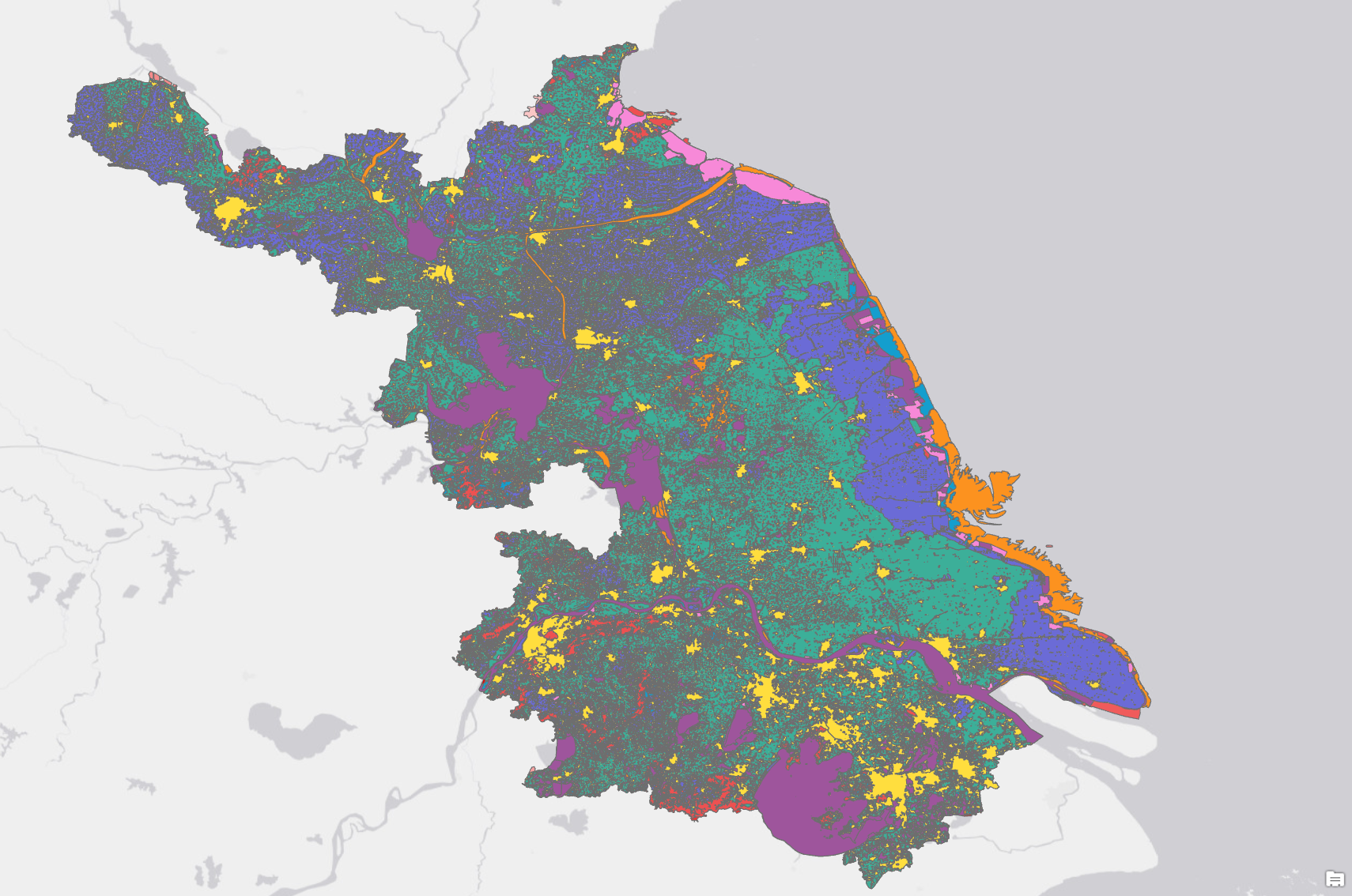
Data layer: landuse data in Jiangsu.
Reference layer: administrative boundary in Jiangsu.
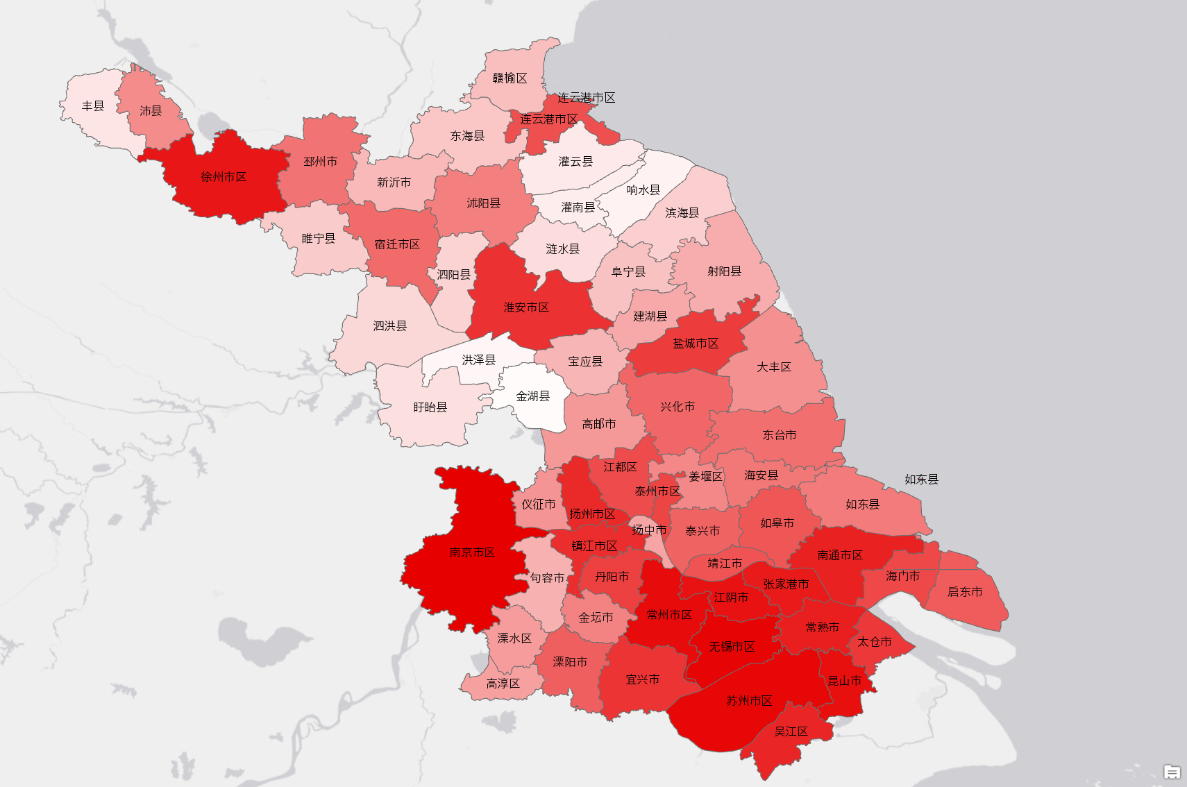
I would like to know the each landuse type area in each county.
Data processing
Tabulate Area is a tool provided by ArcGIS, this tool calculates cross-tabulated areas between two datasets and outputs a table.
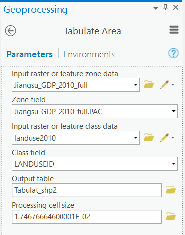
After calculating, we can get a table of land use area statistic in each county.